UNLOCK THE POWER OF
MAPLINE
DATA
AND AUTOMATE EVERYTHING

Enrich Your Data
Gain the insights you need to know what’s really happening at ground level.

INFORMATION AT YOUR FINGER TIPS
Add columns of data to your spreadsheet containing anything you want to know. What’s the average income within a mile radius of each store? What is the distance to the nearest competitor? What is the average distance my customers travel to each store? Dynamic data gives it all.
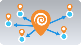
DISTANCE COMPARISON
Want to calculate the distance from your locations to the nearest store and more? Add and compare both straight-line and driving distances from your locations to others instantly!
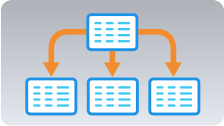
DATA CONNECTIONS
No more VLOOKUP limitations. Mapline can connect your data using distance, territories, and geospatial relationships as well as any other type of lookup you can imagine.
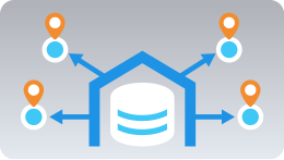
COLLECT DATA
Combine Supersets with Mapline’s Forms to add data to any form submission your team has. Auto assign new leads to sales managers and streamline their response time.

TERRITORY ASSIGNMENTS
Add a Dynamic Data column to your spreadsheet which contains the territory (from your maps) each location belongs to.
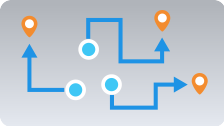
BULK DRIVING DISTANCES
Add a column to your spreadsheet with the driving distance to the nearest competitor or the nearest supply point.

TERRITORY STATISTICS
Dynamically import information about your custom territories. Add the total population or average income to each of your sales territories. Or aggregate sales or store count for each market on your map.

DISTANCE ANALYSIS
Using distance, you can find how far customers are willing to travel to your store. Then compare that to the value of each customer to determine whether you should be marketing farther away or sticking close.
Enable Automation
Start automating across data, teams, and business processes!

CONSTANTLY UPDATING
Any time you change your data, the Dynamic Data columns will also update so that you can access the most relevant information.

ELIMINATE MANUAL SCRUBBING
Using raw data, you can configure Mapline to flag and remove unwanted data automatically. Completely eliminate the checklist of manual steps to clean, trim, and scrub your data.
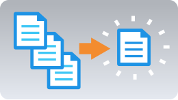
COMBINE DATA INTO ONE PLACE
Data never comes from one system. Use Mapline to combine relevant portions of your data from multiple sources into one place.

ENRICH
Mapline doesn’t just give you what you already have. We give you what you don’t have. Enrich your data with distance, demographics, competitive, and weather information. Then watch it update automatically any time your original dataset is updated.

Q: WHAT MAKES MAPLINE SO DIFFERENT?
A: OUR PROPRIETARY GEOSPATIAL ENGINE
We are the only software solution built from the ground-up on our innovative Geospatial technology that levereges the power of distance and location in your data. We let you see exactly where you are, then help you chart a course to where you want to be!


